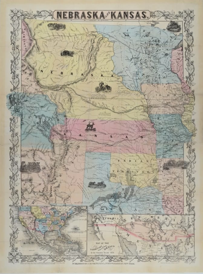
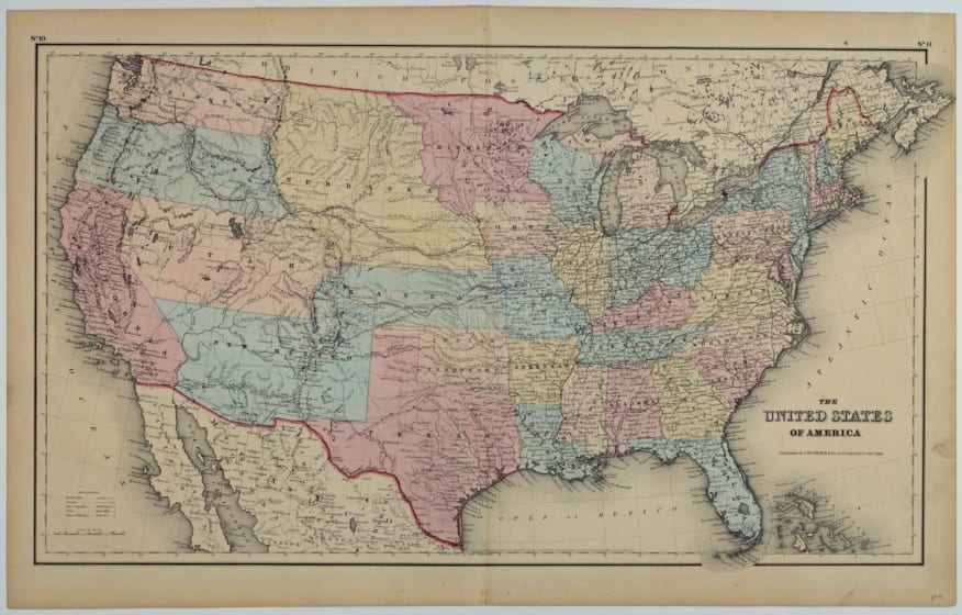
We have a fantastic map collection from the Territorial Kansas time period of 1854-1861. Visitors can come to the Territorial Capital Museum and see the exhibit, or view them online: Lecompton Historical Society’s Territorial Maps on Kansasmemory.org.

1856
1854
1855
The Territorial Maps were donated by Raymond Gieseman to the Lecompton Historical Society
Raymond Gieseman grew up right across the river from Lecompton, in Williamstown. As an adult he lived and worked in Washington, DC. Mr. Gieseman was an economist and agricultural specialist at the US Bureau of Labor Statistics. He was fascinated with Territorial Kansas history, and he accumulated quite a collection of materials on the subject. His friends and colleagues referred to his apartment in D.C. as the “Lecompton Embassy” because of his vast collection of all things related to Lecompton and Territorial Kansas. When he passed away in 1988 he made sure that the Lecompton Historical Society received his significant collection of books, papers, and maps.
The maps are a treasure. Not only do they show a changing scene through the years in which Kansas was a territory, but also represent the map resources that those moving West consulted to locate a new homestead. If you look at the yearly progression of the maps, you will notice that each year more details are added and that some cities come and go. These map details were often used by homesteaders and pioneers to find a suitable new home next to streams and rivers and towns, and to locate the trails to make their movement easier. The maps also document a changing political scene with towns detailed or forgotten as they went in and out of favor from year to year. And sadly, they mark the changing status of Indian reservations.
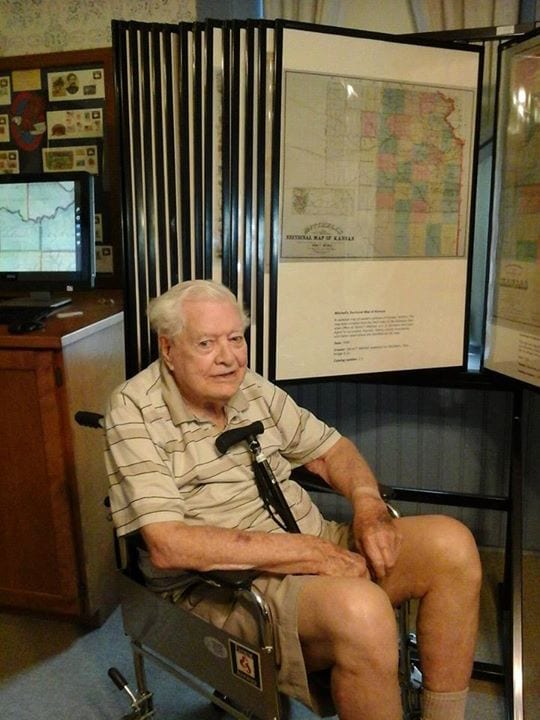
Charles Wright, former mayor of Topeka, is the great-grandnephew of the map maker David Mitchell. One of Mitchell’s maps is featured behind Mr. Wright. Photo taken June of 2014.